SüdtirolKids
Newsletter

← Torna all'elenco

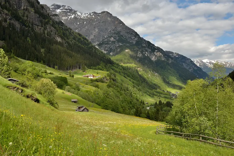
La Val di Fleres
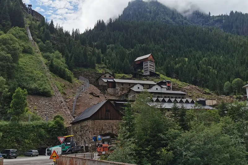
La Val di Fleres · Foto: This Photo was taken by Wolfgang Moroder. Feel free to use my photos, but please mention me as the author and send me a message. This image is not in the public domain. Please respect the copyright protection. It may only be used according to the rules mentioned here. This specifically excludes use in social media, if applicable terms of the licenses listed here not appropriate. Please do not upload an updated image here without consultation with the Author. The author would like to make corrections only at his own source. This ensures that the changes are preserved.Please if you think that any changes should be required, please inform the author.Otherwise you can upload a new image with a new name. Please use one of the templates derivative or extract. / Wikimedia Commons, CC BY-SA 3.0
Escursione

Il Sentiero delle Cascate in Val di Fleres

📍 Fleres (Pflersch), Brennero, Vipiteno e dintorni

☀️ Estate

km
4,2
Durata
2 h 2 min
Salita
302 m
Punto più alto
1478 m
Difficoltà
facile

Escursione per famiglie facile vicino a Fleres (Pflersch), Alto Adige: 4,2 km, circa 2 h 2 min, 302 m di dislivello in salita. Punto più alto 1478 m.

Nei dintorni

La newsletter del weekend per le famiglie in Alto Adige

Ogni giovedì: 5 eventi per famiglie, 1 escursione con il passeggino, 1 idea per quando piove. Gratis, e potete disiscrivervi quando volete.

Iscriviti

L'iscrizione avviene su beehiiv, il servizio che usiamo per la newsletter. In ogni email trovate il link per disiscrivervi. Dettagli: Informativa sulla privacy