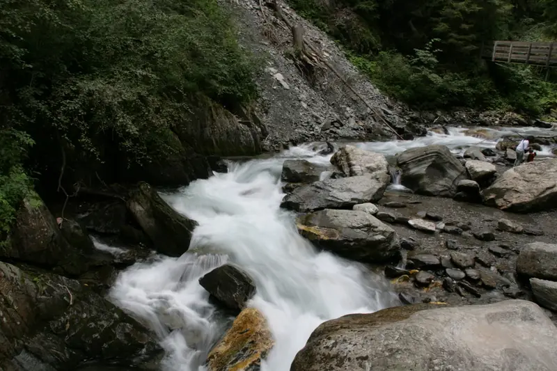
Water fall trail in Gossensass/Colle Isarco
📍 Gossensaß, Brenner, Sterzing und Umgebung
- km
- 2.6
- Duration
- 1 h 4 min
- Ascent
- 151 m
- Highest point
- 1082 m
- Difficulty
- easy
Easy family hike near Gossensaß, South Tyrol: 2.6 km, about 1 h 4 min, 151 m ascent. Highest point 1082 m.
- 🗺️ Open in maps
- ℹ️ More info (tourist office)
- Source: suedtirol.info, tourism.api.opendatahub.com · Retrieved 2026-10-18